|
Click on photos to enlarge
|
|
|
 |
Brenchley
Castle |
|
|
 |
|
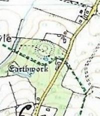
Hidden away in
the lanes of West Kent is the remains of an early fortification,
namely Brenchley Castle. On a spur on the hillside, largely
hidden from view by trees and undergrowth lies the earth works
little known about. Following a survey in 1933 it was made a
scheduled monument. There are several conflicting reports from
the time, but more recent research from other sites makes things
a bit clearer. The site has never really fully been investigated
by modern archaeology. The following are my opinions.
|
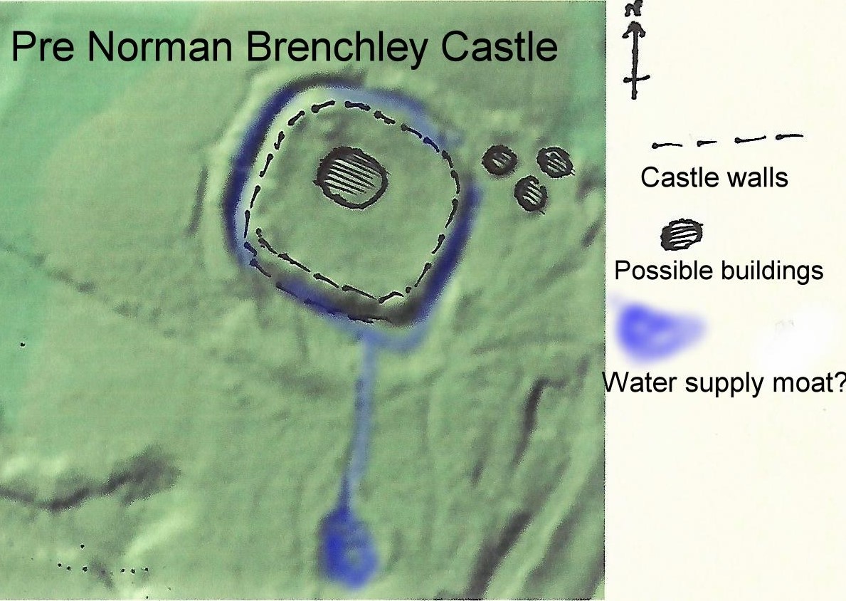 |
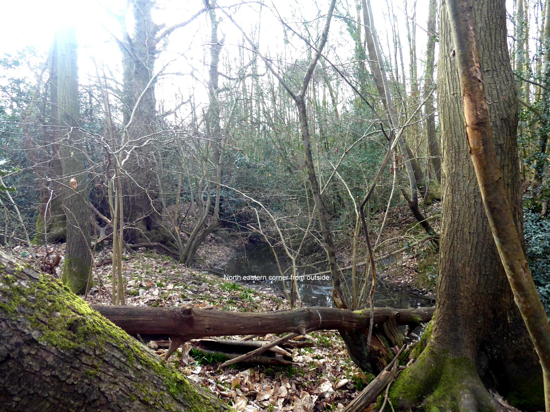
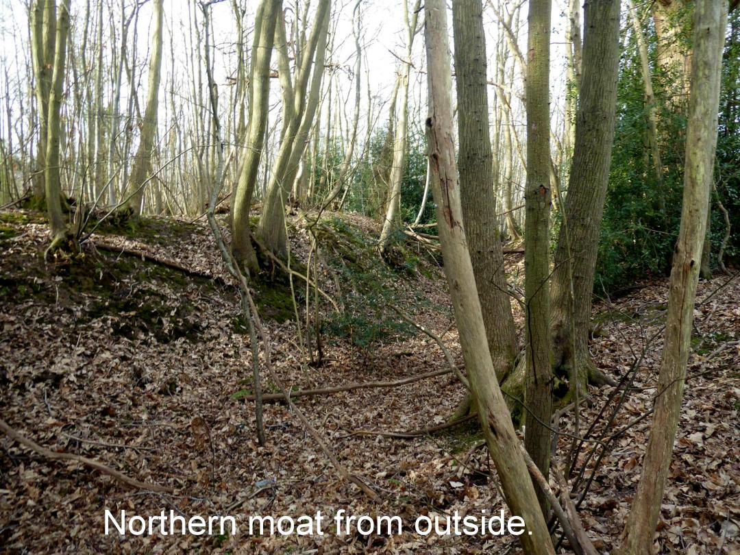
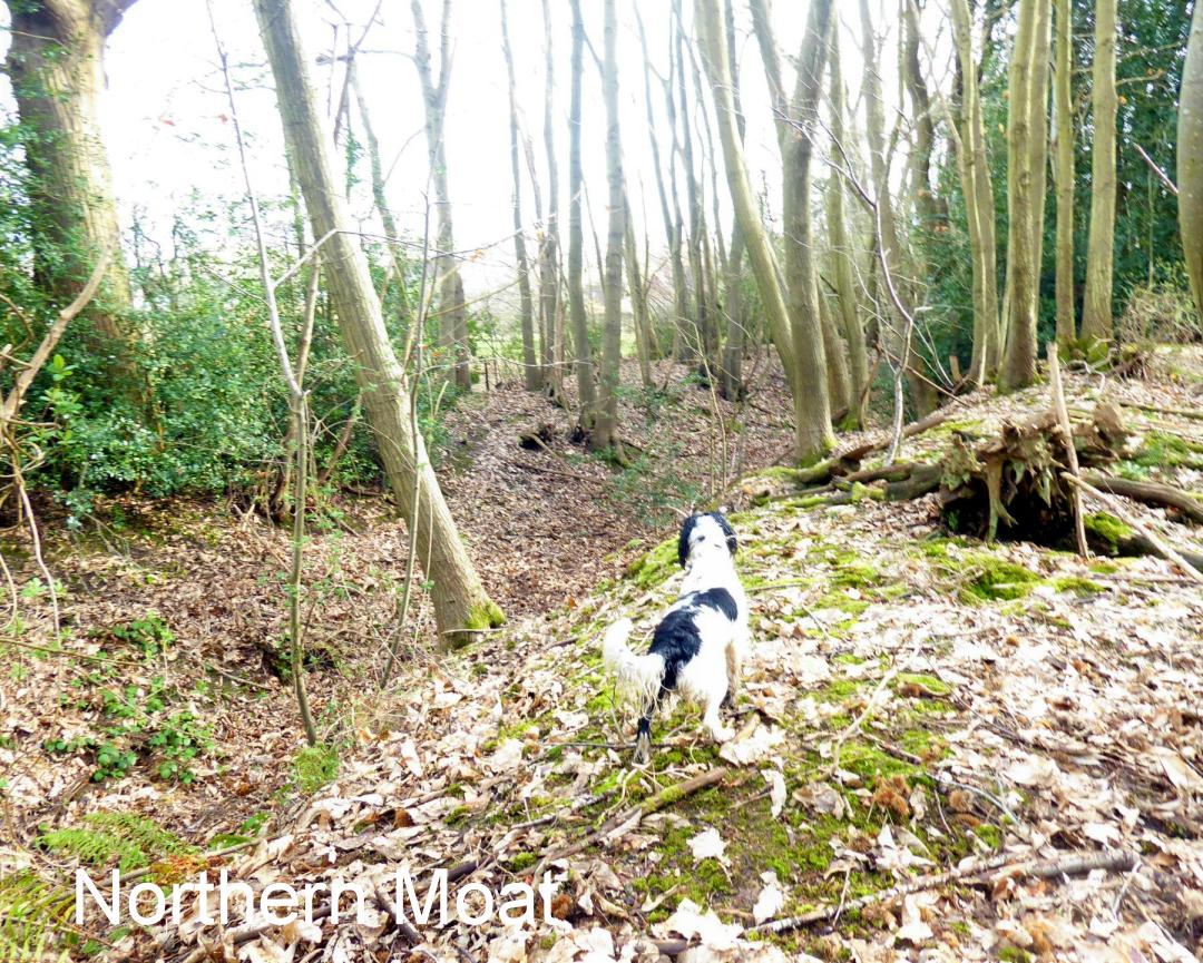
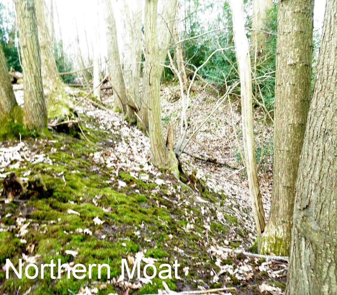
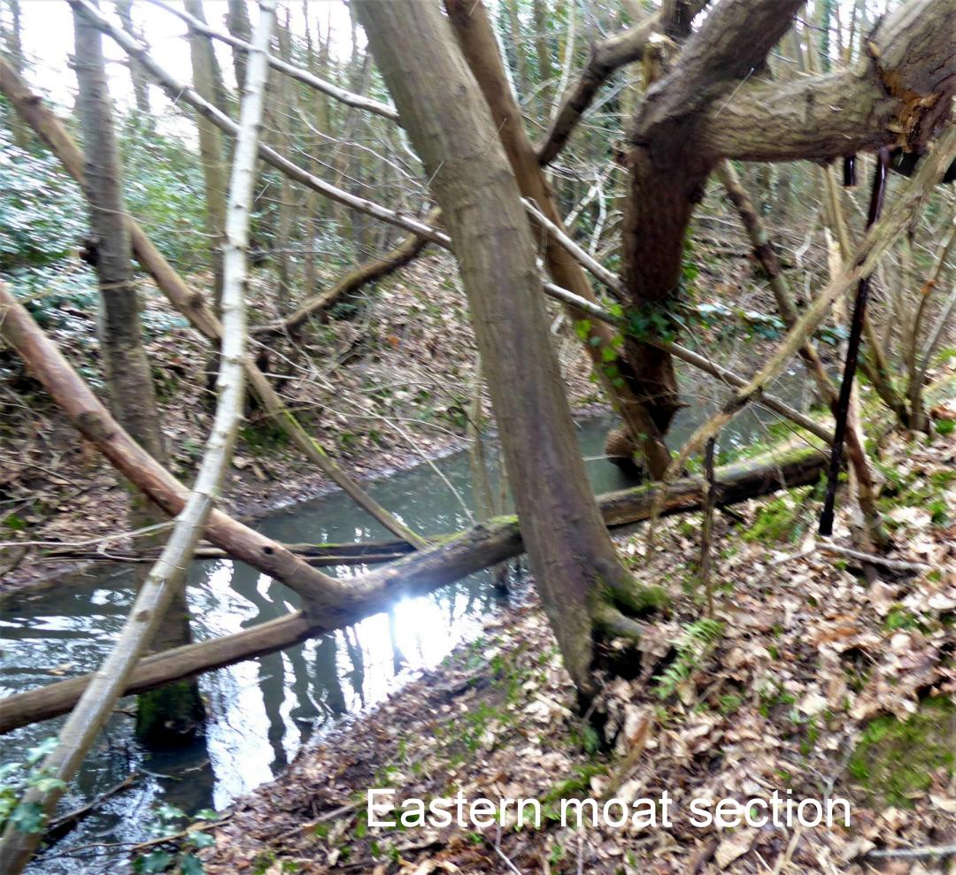
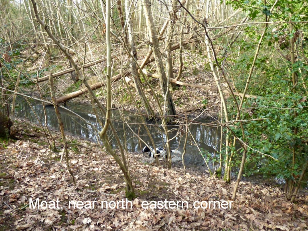
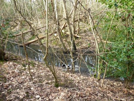
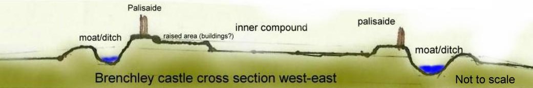
The earthworks are certainly
from pre Norman times, maybe Iron Age. It would seem there maybe
evidence at least from early Saxon round houses. There are
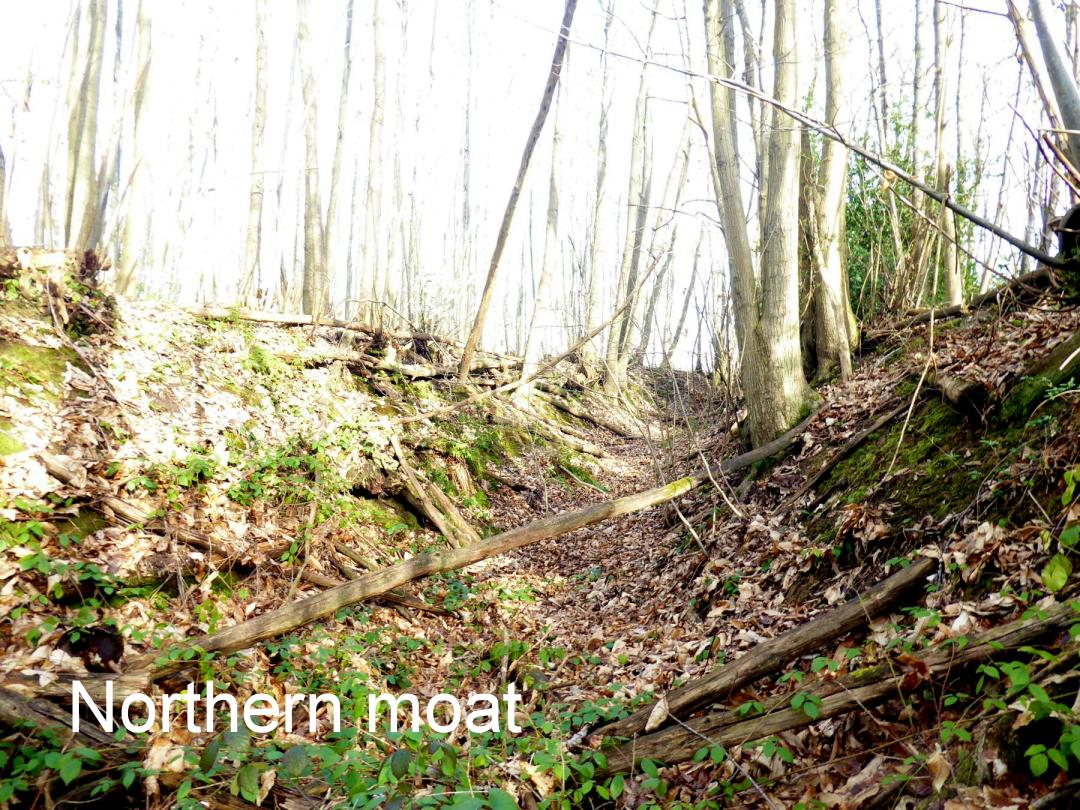
fairly substantial ringworks mostly complete, often the main
ditch is in water, fed by a nearby pond and stream. The earth
works are up to 20 foot high especially in the south section.
The walls of course would have been a wooden palisade so no
survival from any period.
|
|
|
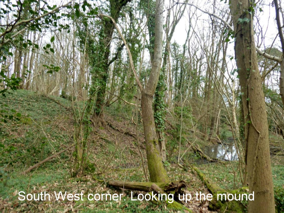
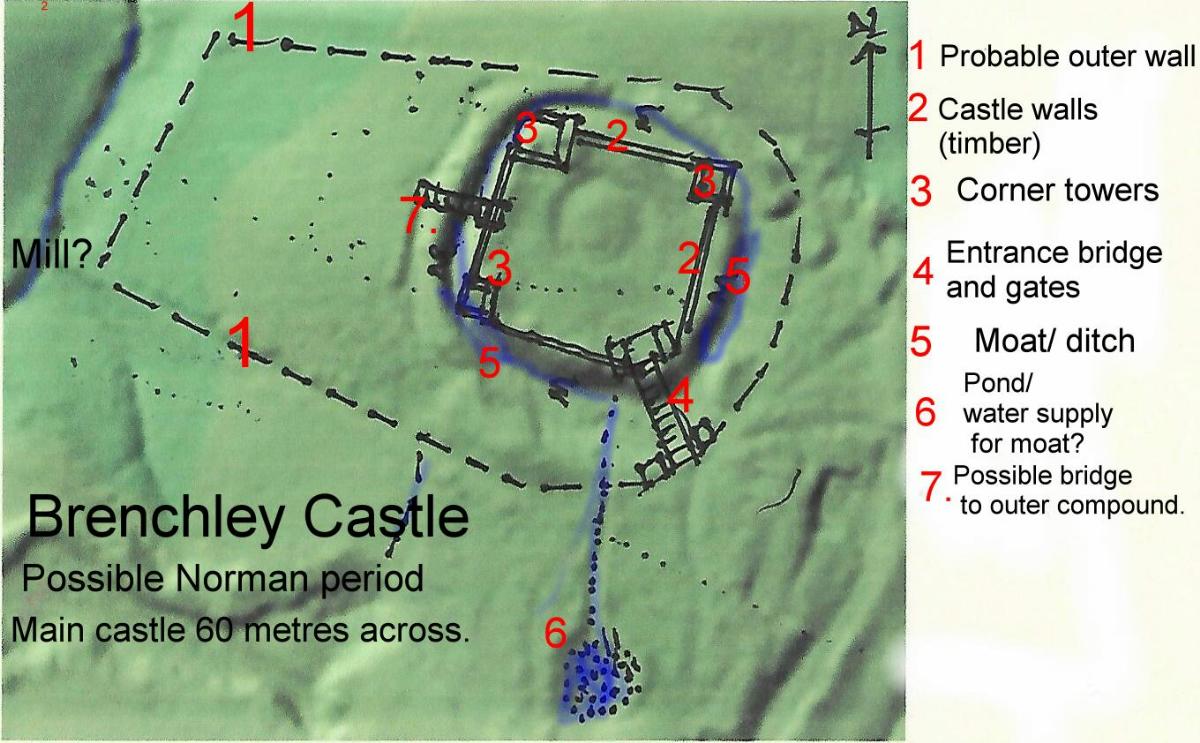
With the invasion of
the Normans it seem the castle was taken over and modified.
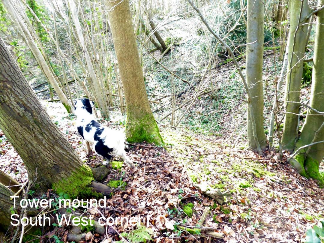
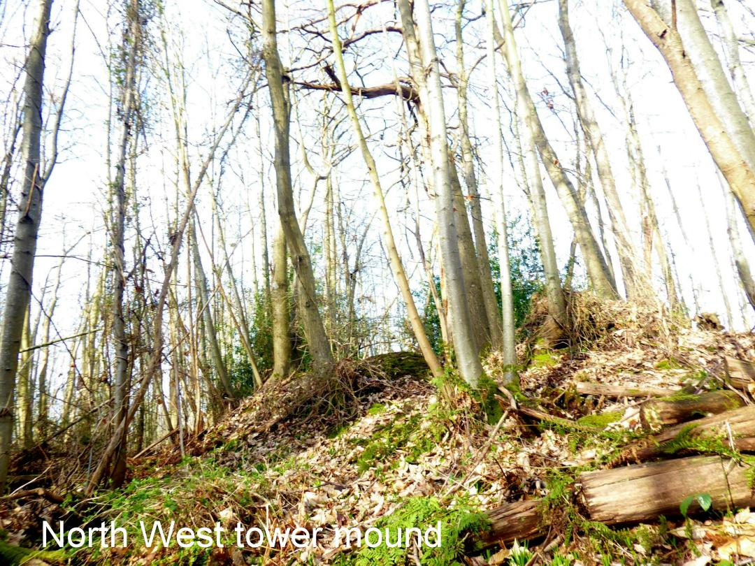
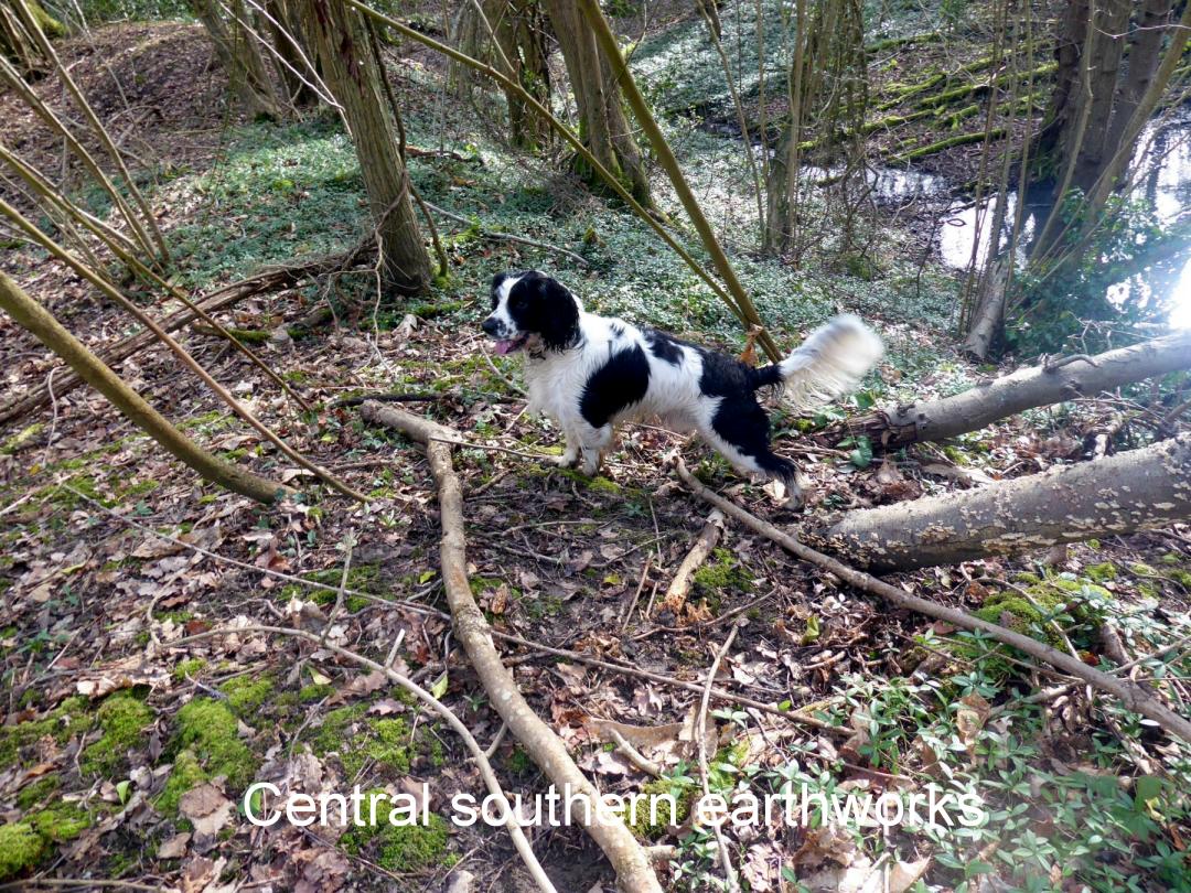
Towers were built in the corners as can be seen by raised
sections. An additional compound built to the west giving
the site an outline of a motte and bailey castle. However there
is no bailey mound. The entrance seems to be in the south
west corner. Access was probably by a bridge with a draw bridge. The
palisade wall may have been roofed. There is evidence of rectangular
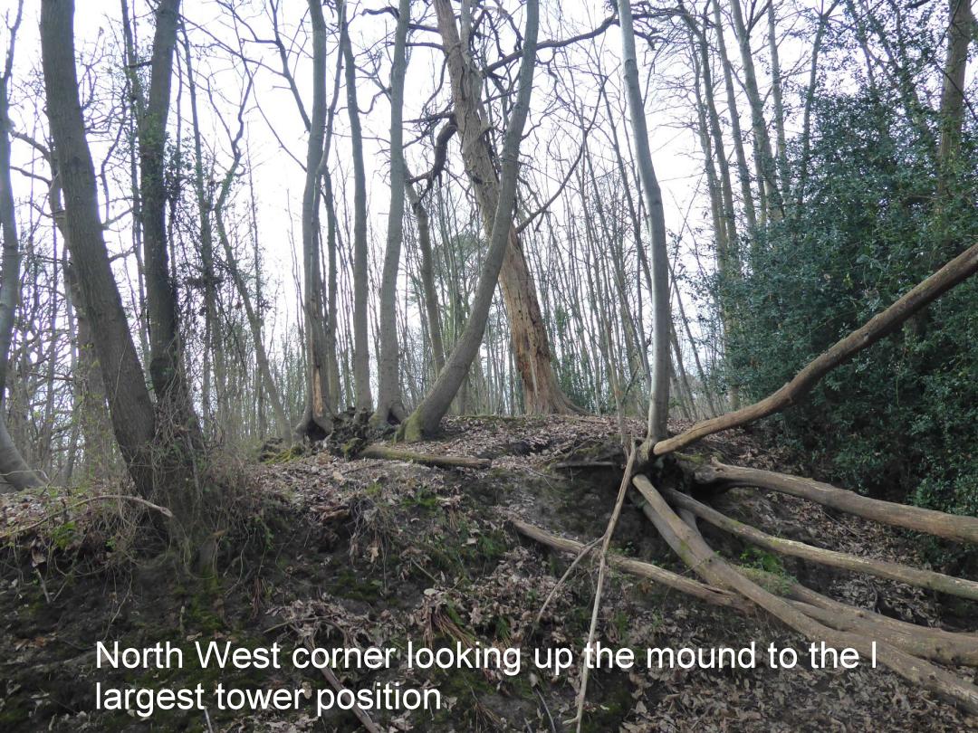
outlines of buildings. The North west tower outline is larger
than the others and on a higher mound. There is a breach
of the earthworks to the outer bailey area presumably for access.
It would have overlooked the valley. Not of great significance,
the castle was probably abandoned within 50-100 years. Pottery
has been found. |
 |
|
|
|
|
 |
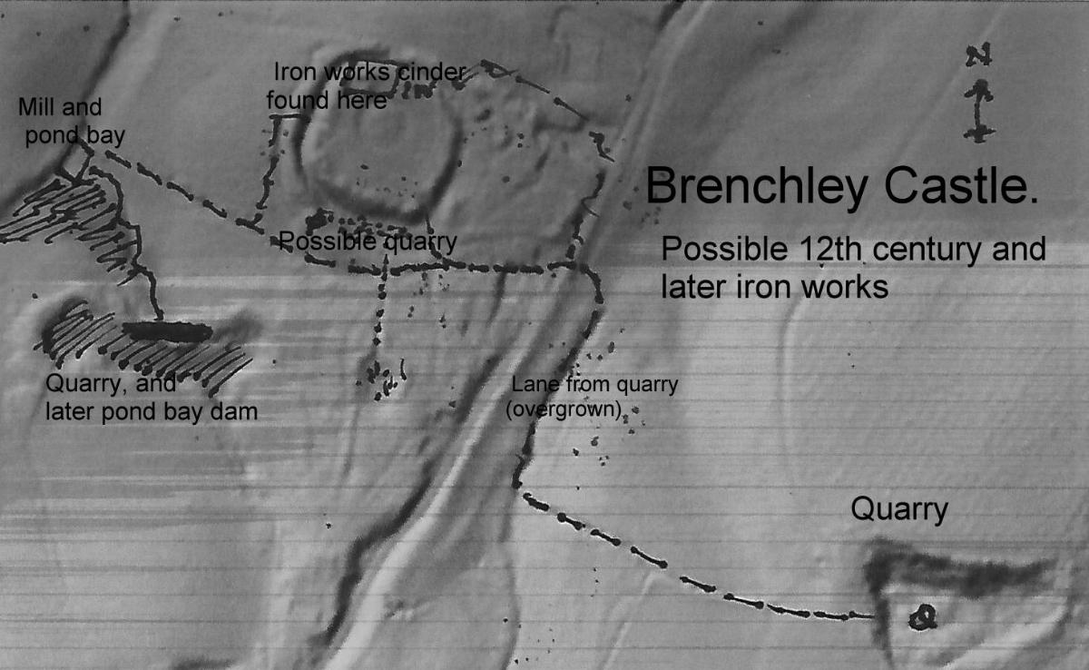 |
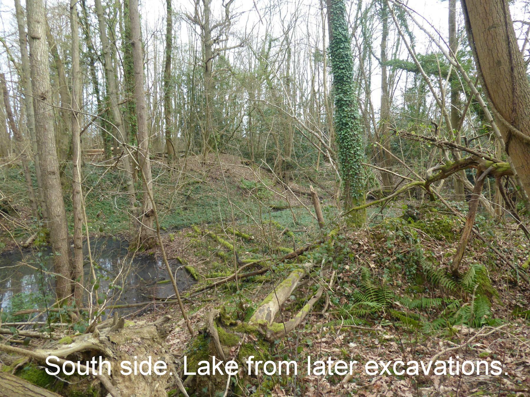
The Brenchley
area is on the edge of the past Wealden iron producing region
(pre industrial revolution) It is known that the castle location
was used for commercial activities after the 12th century. Iron
slag and cinders have been found. Three possible quarries for
iron workings are found locally. The south of the earth works
are significantly wider and could be a quarry (water filled)
with the waste piled behind. Immediately to the south west a
quarry, later dammed up (hammer pond pond bay?) which is
possibly an upper pound water supply for a hammer mill. Another
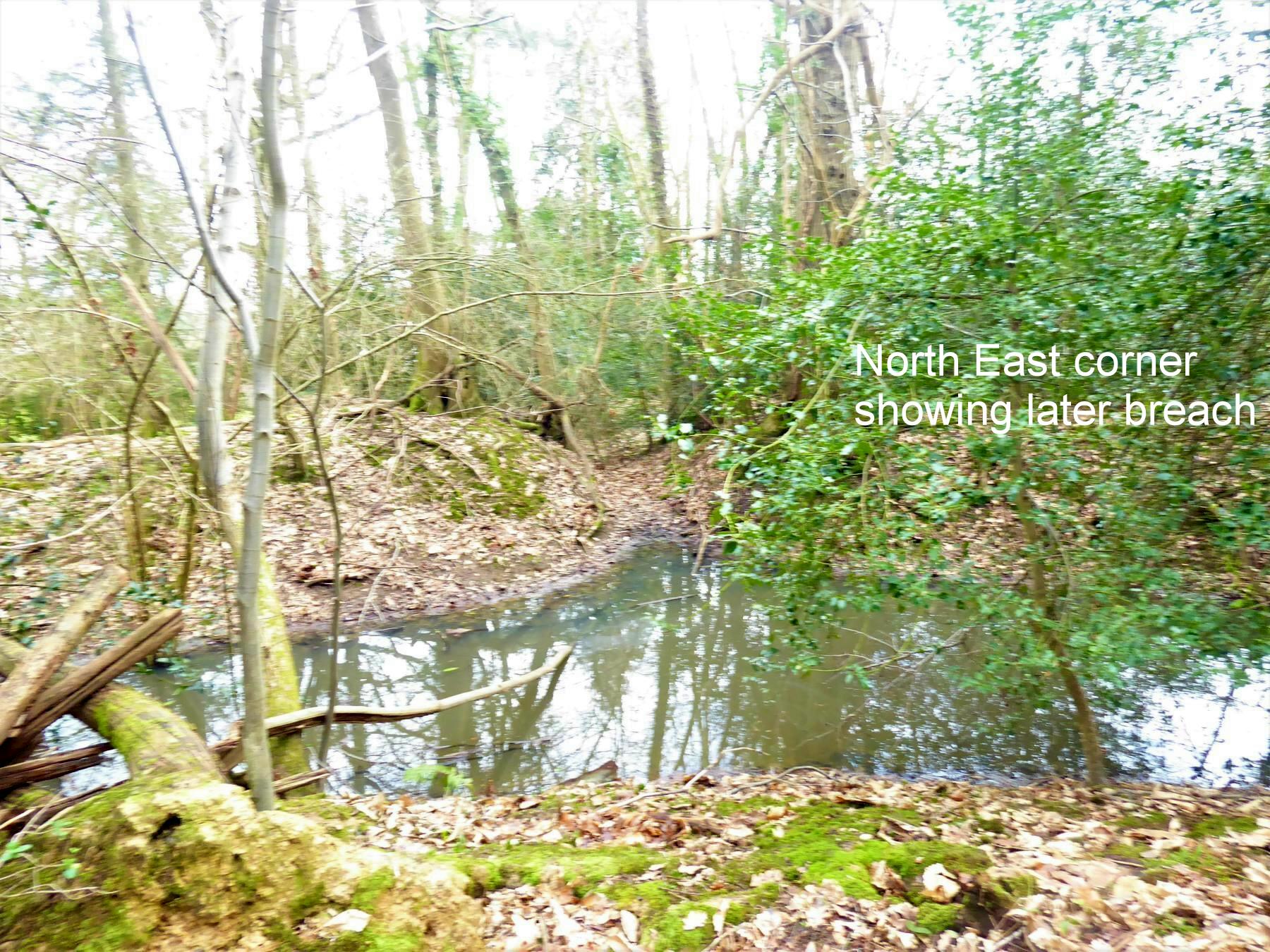
quarry lies to the south east. A lost sunken lane can be found
going towards the castle. The outer earthwork has been breached
to the North East maybe for access to the works. |
|
|
|

|